Overview

Data can help you to understand the ways people choose to get active, where they do so and even why. You can drill down into specific geographic areas and explore trends to help inform your own work. We’ve got a number of tools to help you do just that.

Active Lives
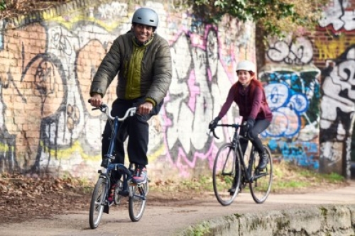
Our Active Lives surveys measure the activity levels of people across England.
There are two surveys: Active Lives Adult, which is published twice a year, and Active Lives Children and Young People, which is published annually. Both give a unique and comprehensive view of how people are getting active.
Find out more about the surveys by clicking below, and scroll down to see how you can look through the raw data yourself.
Active Lives Online
If you’d like to explore the adult survey data you’re interested in analysing, Active Lives Online lets you do just that. It captures data since November 2015.
Active People Interactive
The Active People Survey was the predecessor to Active Lives. This tool has all the adult data from October 2006 to October 2015, and much like Active Lives Online, gives you access to all the figures.
Active Places
Sport facility data
The Active Places sport facility open data is updated on a daily basis, providing a comprehensive list of sporting venues with their associated facilities throughout England.
Active Places Power
If you don’t want to analyse the raw Active Places sport facility data, you can use Active Places Power. It’s primarily for local authorities and national governing bodies of sport, and is designed to guide investment decisions and develop sport provision strategies.
The tools within Active Places Power have a range of capabilities, from quick searches and simple reports to a series of push-button analytical tools. These aim to make complex modelling techniques as user-friendly and intuitive as possible. Register to access the tools.
Other tools
Local Area Insights
Whether you need information to support a grant application, advocate for facilities, or to help you understand the people you work with, our Local Area Insights tool can help you provide the evidence base.
Market Segmentation tool
Why do some people play sport? And why do some simply not want to join in? We’ve developed 19 sporting segments to help you understand the nation's attitudes to sport, their motivations and barriers. You can use the tool to view data down to postcode level.
OpenActive
OpenActive promotes the use of opportunity data to help people get active. The goal is to make this data on what, where and when physical activity sessions happen, openly available. This "opportunity data" includes details of a yoga class ("how much will it cost?") through to badminton court availability ("where and when is a court available?").
OpenActive also provides the sport and physical activity sector with:
- Free open data courses and e-learning
- A data standard and activity list to ensure we're all using the same language when sharing opportunity data
- A peer-to-peer network of Data Champions, helping to spread the word across the country.
360 Giving
We've openly published all the investments we’ve made from 1 April, 2009 to 30 June 2020, in line with the 360 Giving data standard. This is available in CSV and JSON formats and can be downloaded from the GrantNav system. Guidance on using GrantNav is available here.
Visit GrantNav by using the link below, or download our data in the 360 Giving format by clicking on the attachment.
-
360 Giving Terms of Use
Our work with 360Giving is licensed under the Open Government Licence (OGL) v3. This means the data is freely accessible to anyone, to be used and shared as they wish. Read moreTo view a copy of this license, please click here.
If you use our 360Giving data, it must be attributed with the following statement:
"Contains public sector grants data from Sport England, <the year of publication>, licensed under the Open Government Licence v3.0, accessed on <DD/MM/YY>."
All Sport England lottery awards can also be found on the DCMS National Lottery database, which contains awards information from the other Lottery distributors. This provides a high-level overview of which organisations in your area have received funding and what the money was spent on.
Geographic Information System Mapping
A geographic information system is a digital system for capturing, managing, analysing and displaying all forms of spatial data – data that is in some way referenced to a location.